Skip to content

PROJECT:

Winter Road Peatlands

Phase 1

Phase 1 was a cursory look at multiple sites which were selected for possible restoration.  Phase 1 is complete. Review the report below. 

Phase 2

Phase 2 to develop design plans for 2-3 sites is currently underway. 

Interactive Map

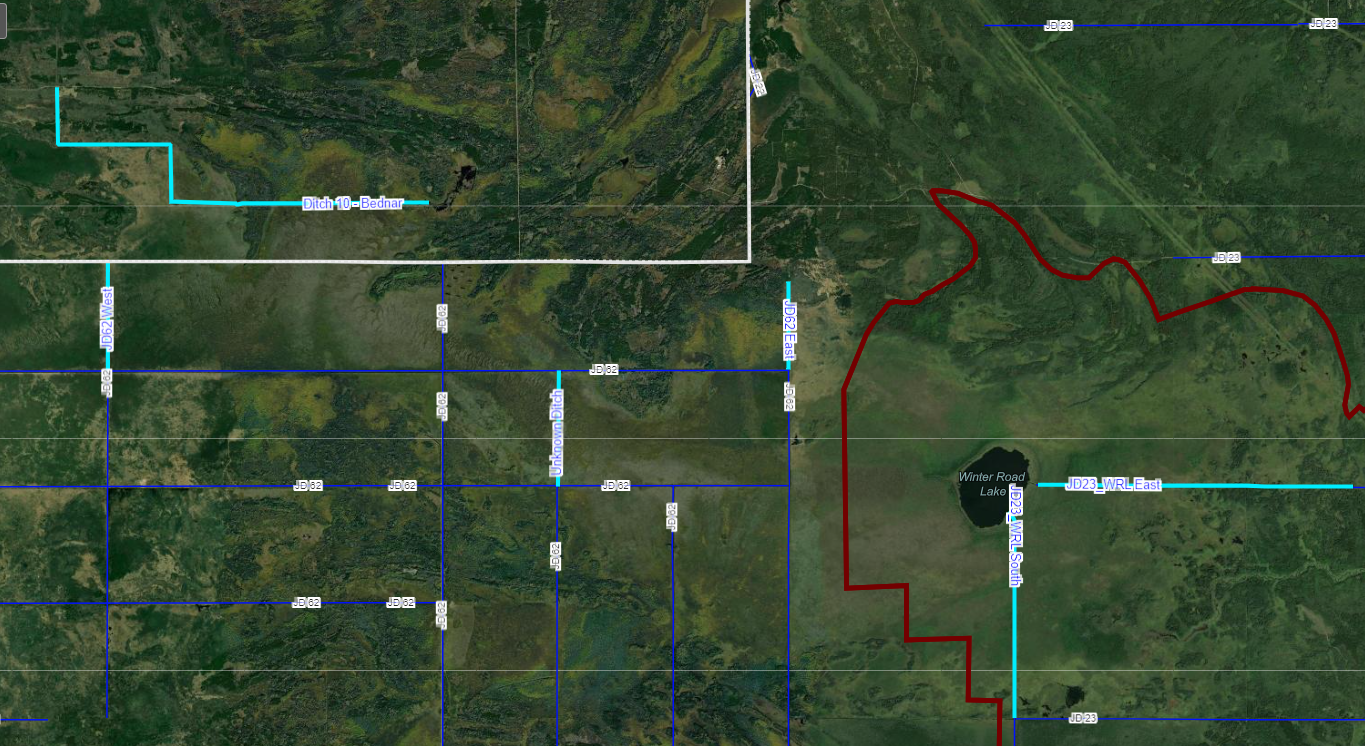
An online map link is available for viewing the proposed project locations. The map displays public, private, and tribal lands in addition to watershed boundaries and land uses.  

This map is interactive.  Comments on the locations can be made by using the “Smart Editor” tool in the map. 

VIEW THE MAP