Skip to content

Rainy - Rapid Watershed Planning

60-Day Plan Review

The Rainy-Rapid Comprehensive Watershed Management Plan is complete and will now be submitted to the Board of Water and Soil Resources for final approval.  

Download the final documents below.  

Planning Partners

Partners who signed on to the planning efforts include Lake of the Woods County and Lake of the Woods SWCD. View the Full List of Contributors.

Maps and Resources

Scroll down to see maps of altered watercourses, impaired waters, land cover, etc….  

Rainy Rapid Watershed Map

What is Watershed-based Planning?

Minnesota has a long history of water management by local government. The One Watershed, One Plan concept is rooted in this history and in work initiated by the Local Government Water Roundtable (Association of Minnesota Counties, Minnesota Association of Watershed Districts, and Minnesota Association of Soil and Water Conservation Districts) in 2011. It was recommended that the local governments charged with water management responsibility should organize and develop focused implementation plans on a watershed scale.
 
BWSR’s vision for One Watershed, One Plan is to align local water planning on major watershed boundaries with state strategies towards prioritized, targeted and measurable implementation plans – the next logical step in the evolution of water planning in Minnesota.
 
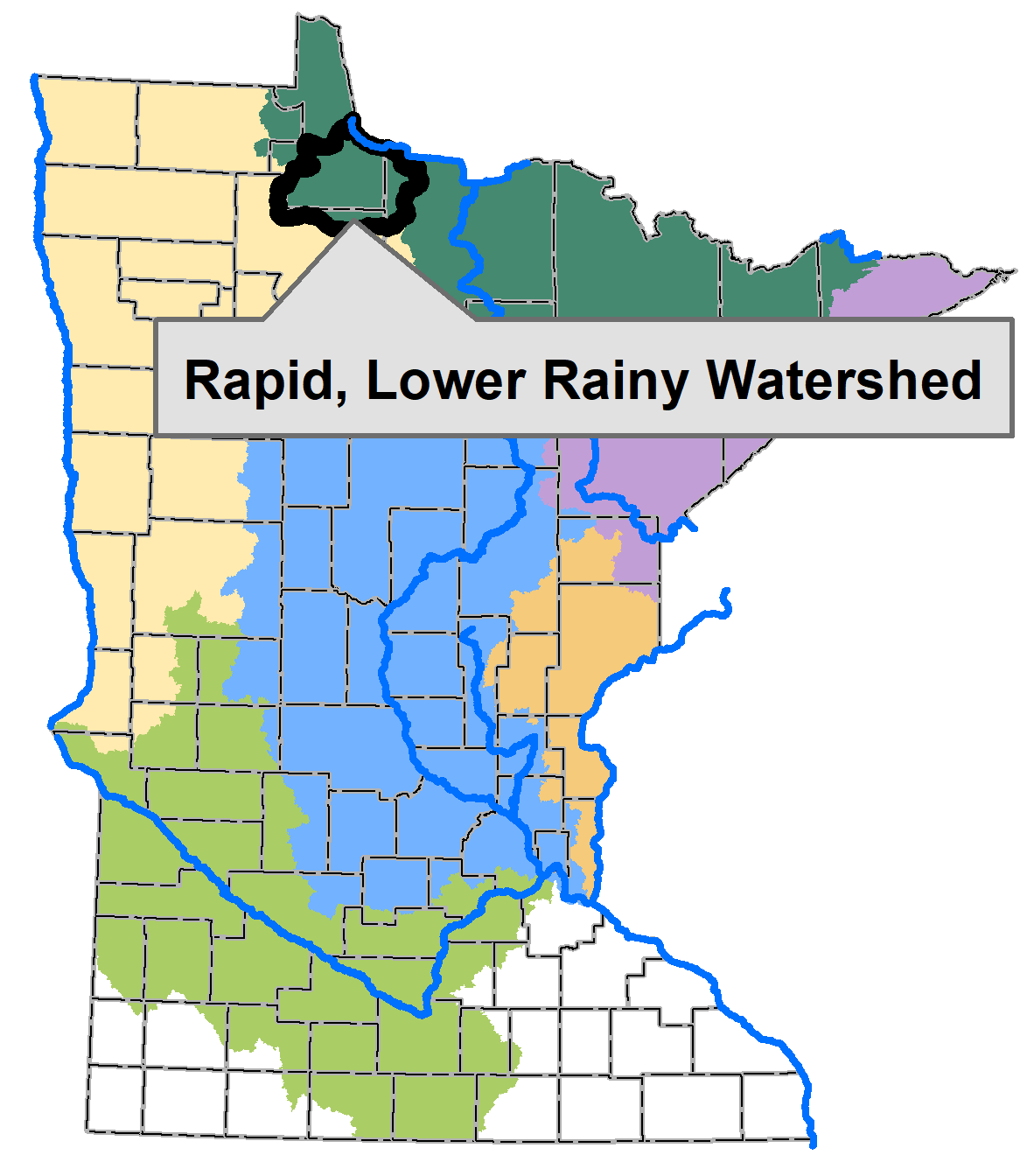
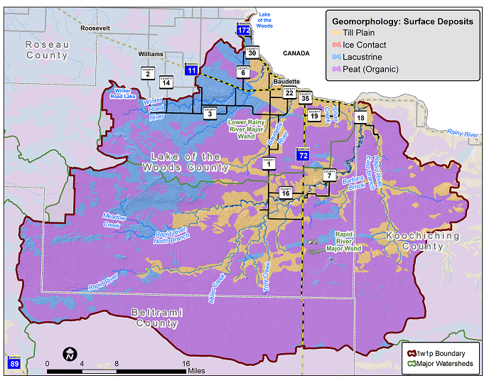
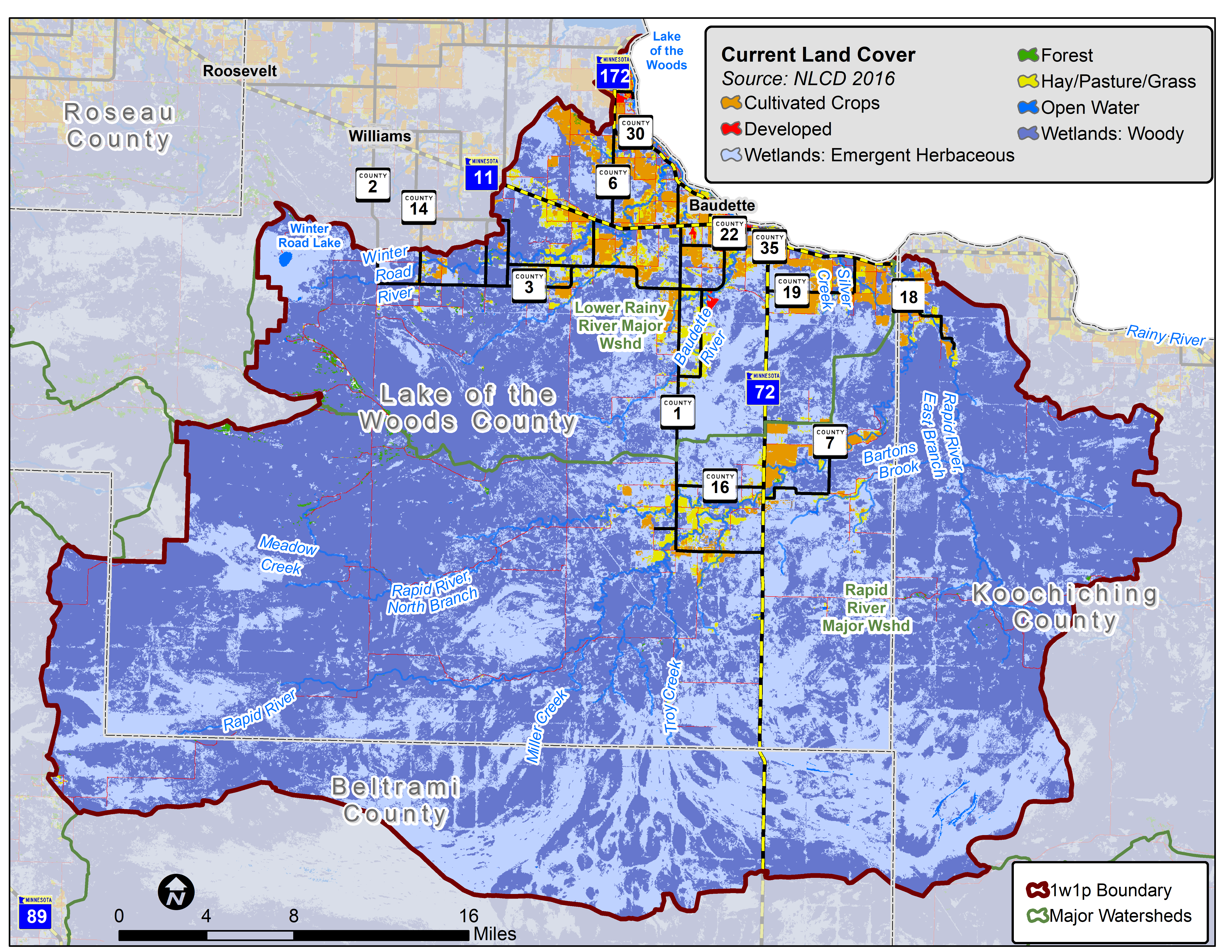
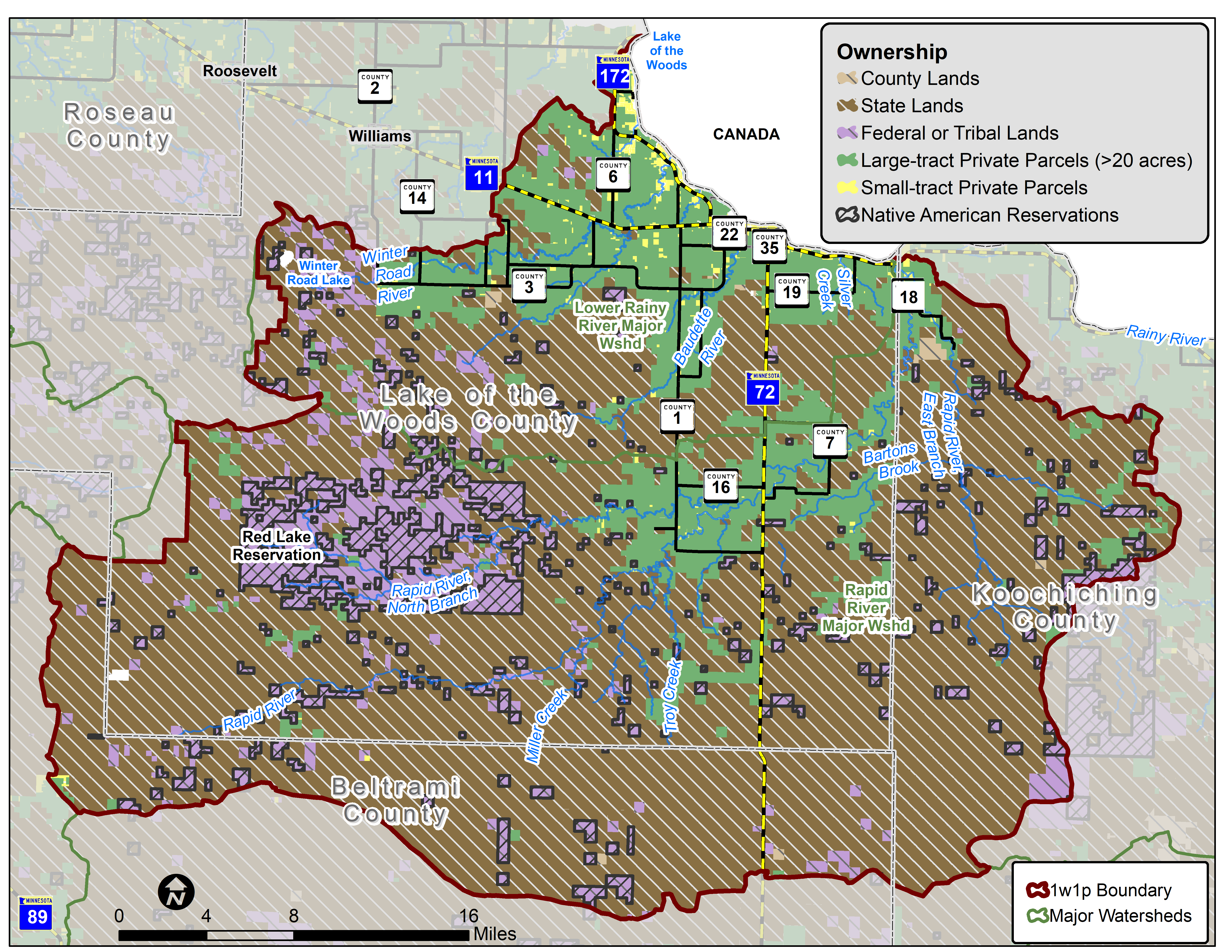
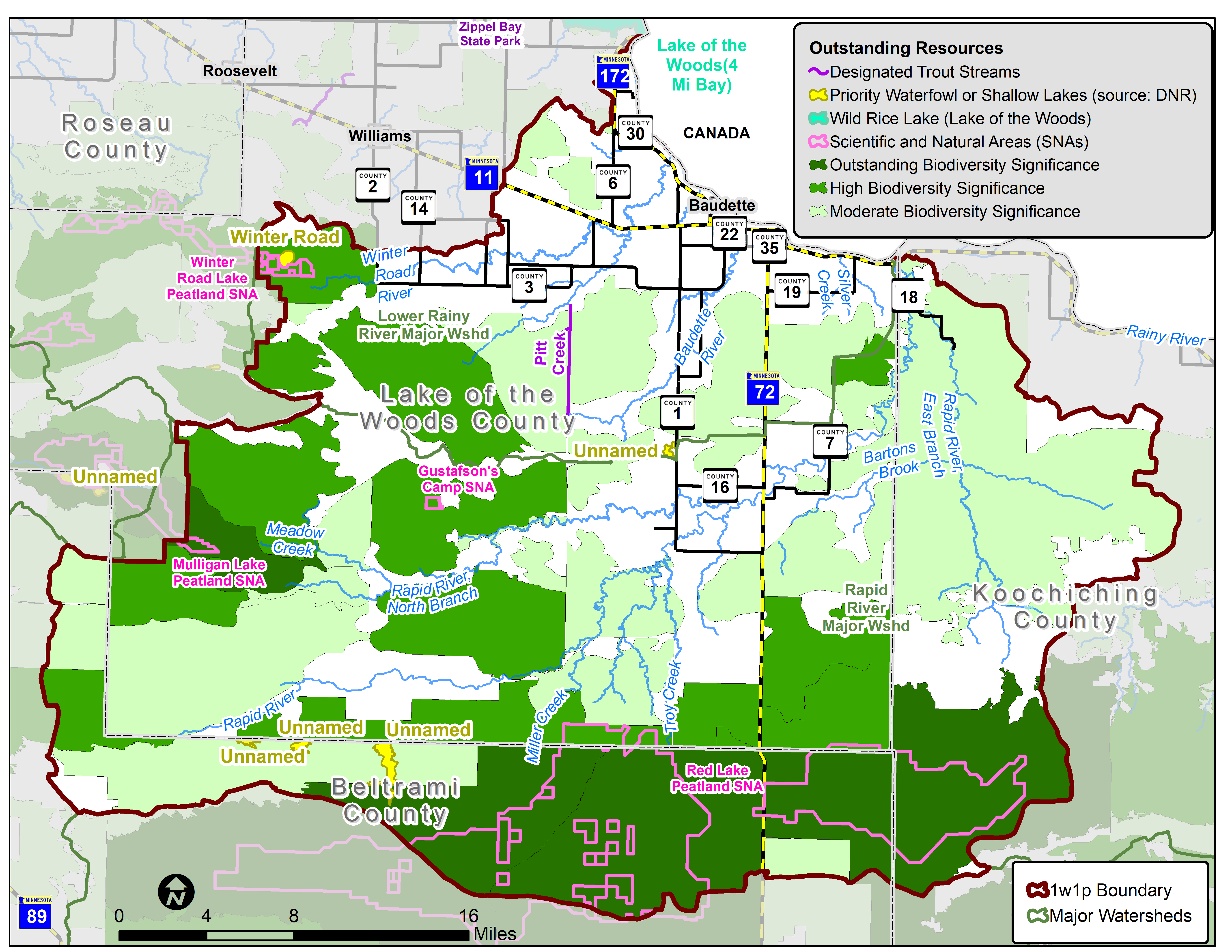
This Comprehensive Watershed Management Plan allows participating LGUs to align local water planning efforts along a uniform watershed boundary and ultimately result in more efficient resource management.

About the Rainy-Rapid Watershed Planning Area

The Rainy-Rapid Watershed Planning Area is a combination of the western portion of the Lower Rainy River Major Watershed and the entire Rapid River Major Watershed. Planning partners involved agreed to go with a modified watershed boundary in order to simplify the planning and implementation for this region.

Active planning partners are Lake of the Woods County and Lake of the Woods Soil and Watershed Conservation District.  Lake of the Woods SWCD has received a planning grant which started in January 2022.  This funding is used for the plan development.  The goal is to have a plan completed by mid-summer of 2023.  Upon completion of the plan, the Partners can seek watershed-based implementation funding through the Clean Water Funds.  Advisory members of the planning process include Koochiching County and SWCD, Beltrami County and SWCD, and the Red Lake Band of Chippewa Indians.  

Lower Rainy and Rapid River watersheds boundary

Maps of Rainy-Rapid Watersheds Planning Area